Today's technology provides people with many opportunities in many areas. Satellite technologies provide fast, economical and high accuracy information on the earth.
Today’s technology provides people with many opportunities in many areas. One of these areas is satellite technologies that are increasingly developing today. Especially in recent years, satellite technologies provide fast, economical and high accuracy information on the earth. Earth can be imaged in different time intervals, different spatial and spectral resolutions with remote sensing technologies, and the satellite images obtained can be used in many studies. Thanks to geographic information systems, integration of satellite images and different location data can be made. In this way, analysis, interpretation and solution suggestions of many location-based problems can be provided.
Satellites are objects orbiting larger objects than themselves. It is divided into two as natural satellite and artificial satellite.
Satellites developed by humans and placed in orbits of planets are called artificial satellites. Sputnik 1, the first artificial satellite in history, was launched by the USSR from Earth in 1957. This initiative, initiated by the USSR, has created space wars over time, and launching satellites into space has become a show of force.
Today, there are satellites from many countries, especially the USA, China and Russia. Turkey has got 4 (TÜRKSAT 3A TÜRKSAT 4A, 4B TÜRKSAT, TÜRKSAT 5) communication and 3 (GÖKTÜRK- 1, 2 and RASAT GÖKTÜRK-) observation, total of 7 active satellites.
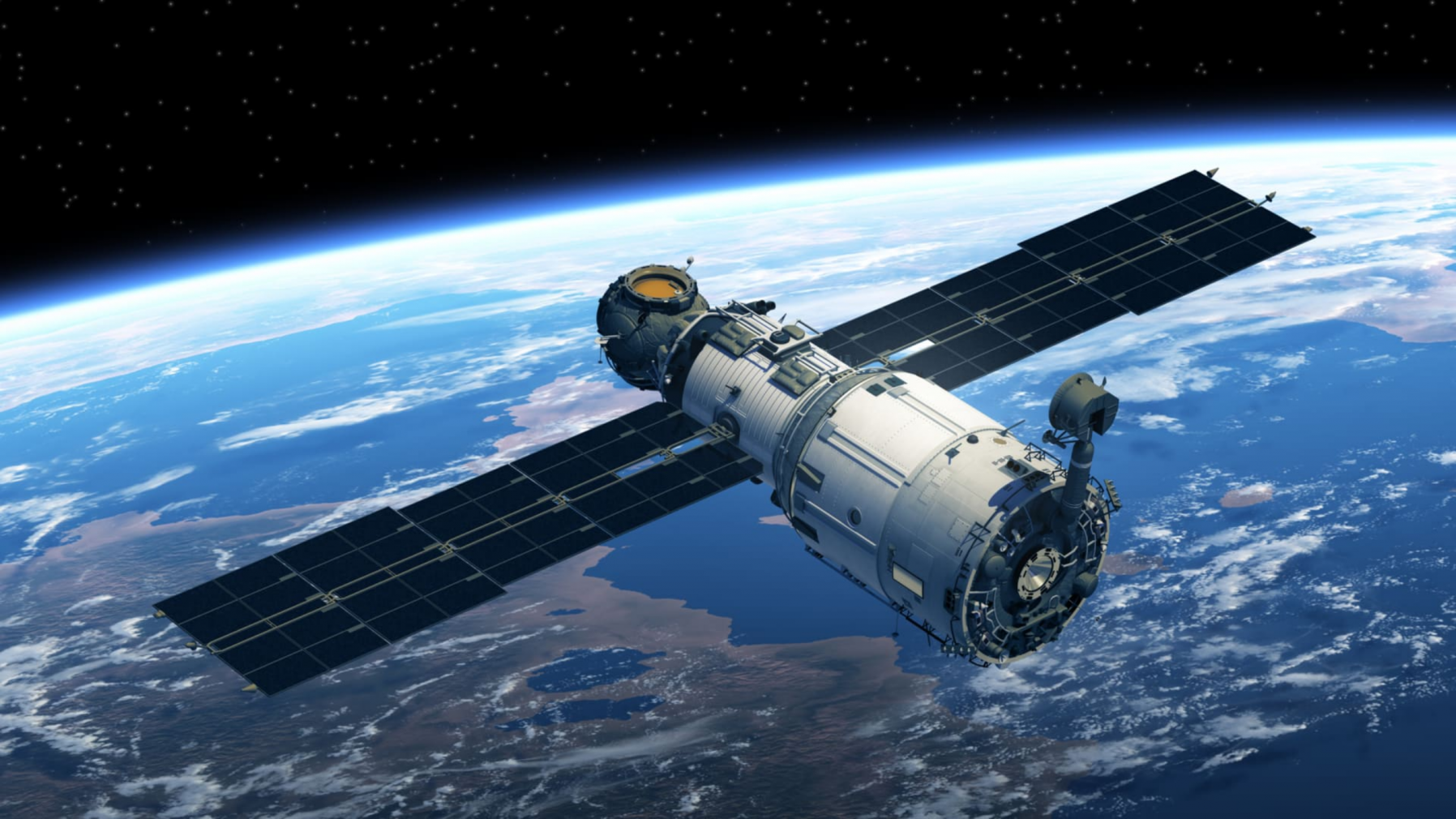
Observation satellites are a type of artificial satellite designed for non-military uses such as environmental monitoring, meteorology, map preparation, designed to observe from Earth orbit. Many spatial analyzes can be made thanks to the images taken from observation satellites. The images obtained from satellite observations with the first national satellite image portals, which are provided for the sharing of Geoportal project in Turkey. Images obtained from RASAT are used in cartography, disaster monitoring, agriculture, environment, urbanism and planning studies.
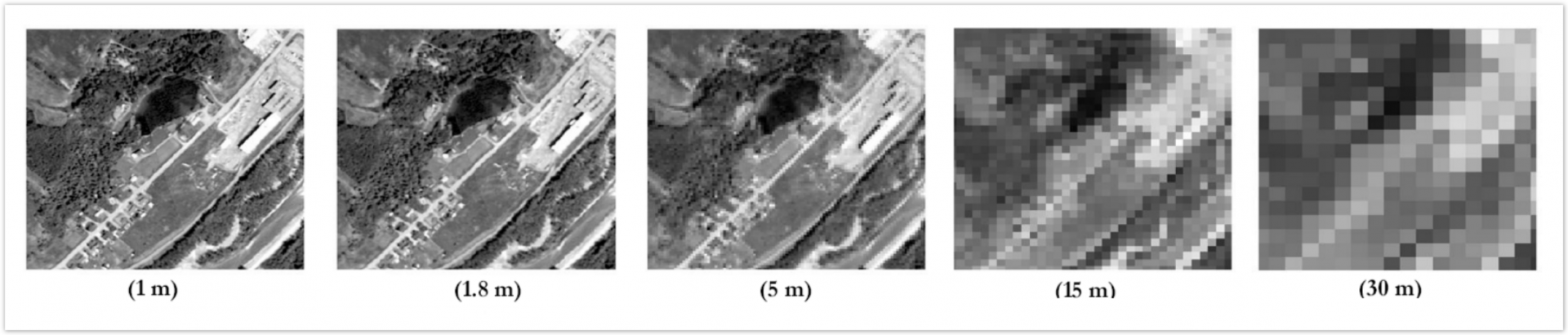
Each satellite offers images in different resolutions. These resolutions are divided into four groups:
Spatial Resolution
Spectral Resolution
Radiometric Resolution
Temporal Resolution
The satellite images to be used are determined according to the study purposes and the desired resolution level.
Fast and cost-effective results are obtained in short time intervals
Allows the earth to be monitored regularly
Provides the opportunity to work in difficult-to-reach geographical areas
Allows different studies to be carried out at the same time in the same area.
Provides users with the opportunity to make timely decisions
Faster solutions can be offered with artificial intelligence applications
It is technology that provides fast, economical and highly accurate information about the earth using satellites and remote sensing.
The earth can be imaged with remote sensing technologies at different time intervals and at different spatial and spectral resolutions.
Thanks to geographic information systems, satellite images are integrated with various location data, enabling the analysis, interpretation and solution of many location-based problems.
Satellites developed by humans and placed into planetary orbits are called artificial satellites. The first, Sputnik 1, was launched by the USSR in 1957.