
Mapping
Mobile Mapping Software
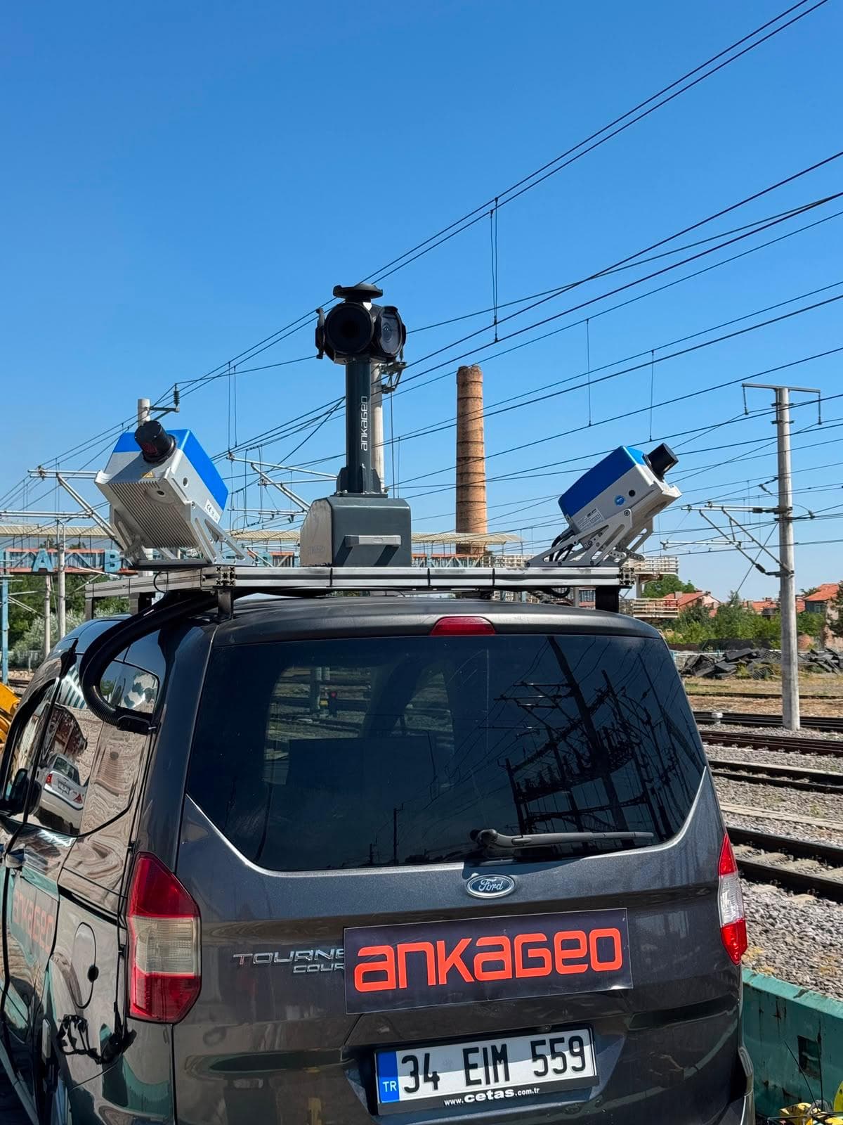
Software platform that processes sensor data collected from mobile vehicles to create 360° panoramic maps, inventory data, and up-to-date urban information systems.


Our spatial technology product family
Software platform that processes sensor data collected from mobile vehicles to create 360° panoramic maps, inventory data, and up-to-date urban information systems.

Asset Management System is a comprehensive system developed to address the complex asset management issues faced by modern businesses. This system allows organizations to effectively monitor, analyze and manage their assets on a location-based basis.

It is a system created in order to record the data of public investment projects developed throughout the country through a single system, to monitor investment projects instantly and on a provincial / district basis, to view and analyze provincial budgets.
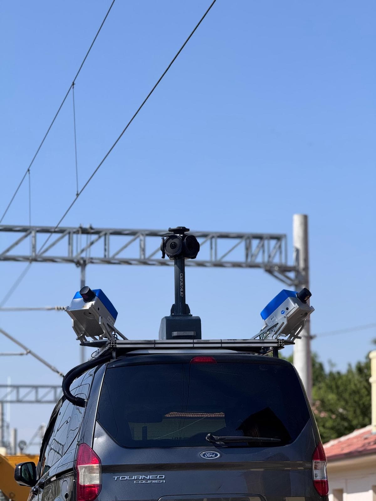
Mobile Mapping is the process of collecting spatial data from mobile vehicles such as cars, drones, boats, trains or airplanes.
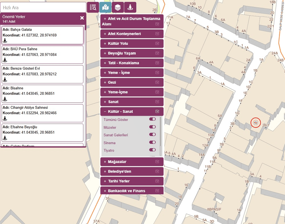
A digital city information system that enables citizens and public institutions to quickly and easily access information such as addresses, numbers, landmarks, zoning status and urban planning.
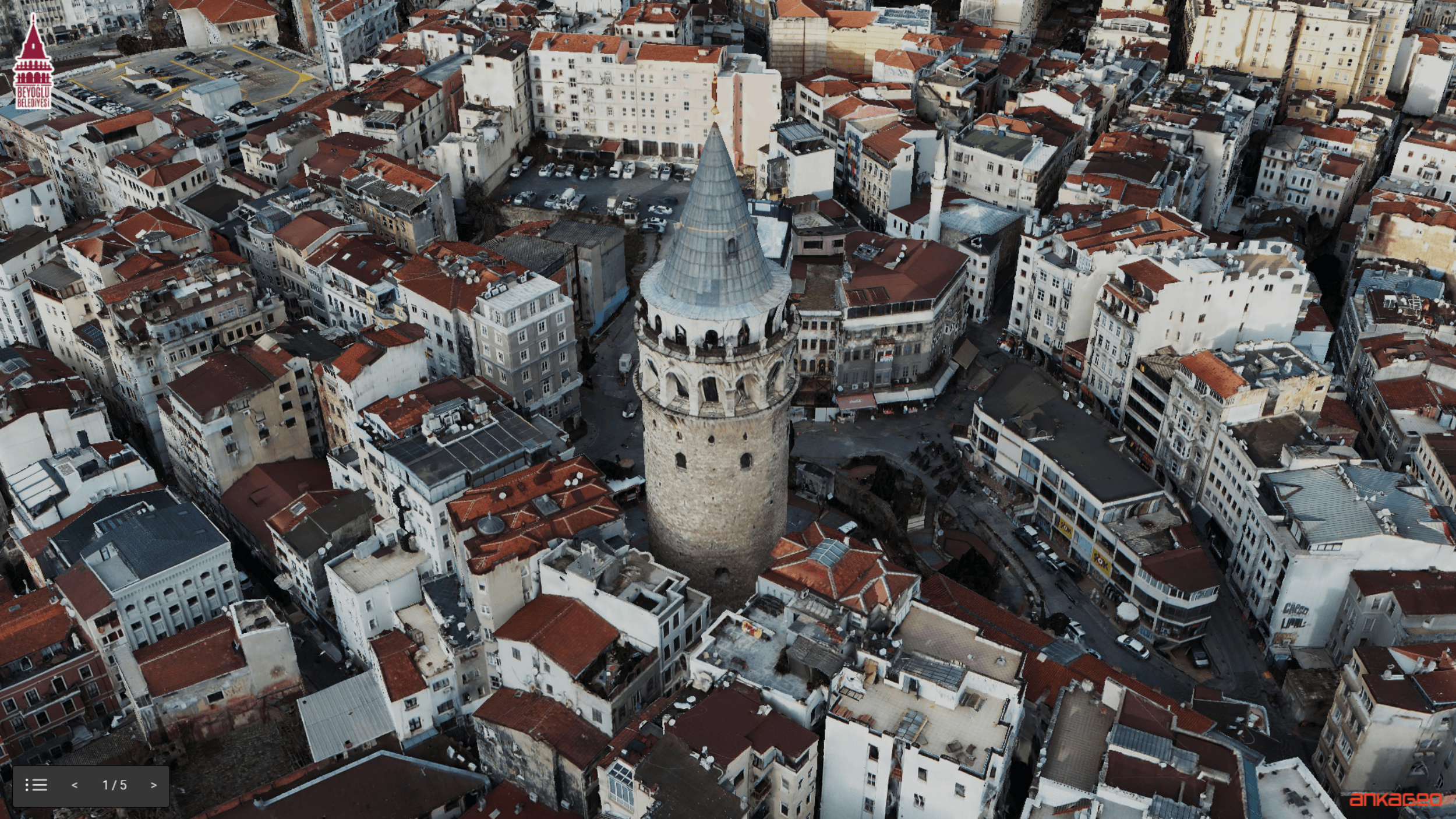
Photogrammetry solution that produces fast and highly accurate 3D city models from oblique angle images captured by cameras mounted on aerial vehicles.
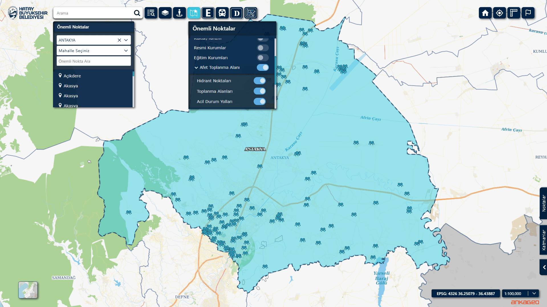
An integrated municipal management system that brings together citizen services, licensing and zoning processes, infrastructure and field work, human resources, and reporting on a single platform to ensure fast, transparent, and efficient service delivery.
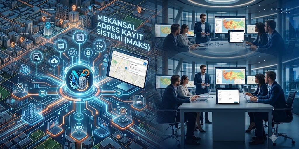
MAKS Integration is an integration structure that ensures the management of address data in the municipality is fully compatible and up-to-date with the National Address Database.