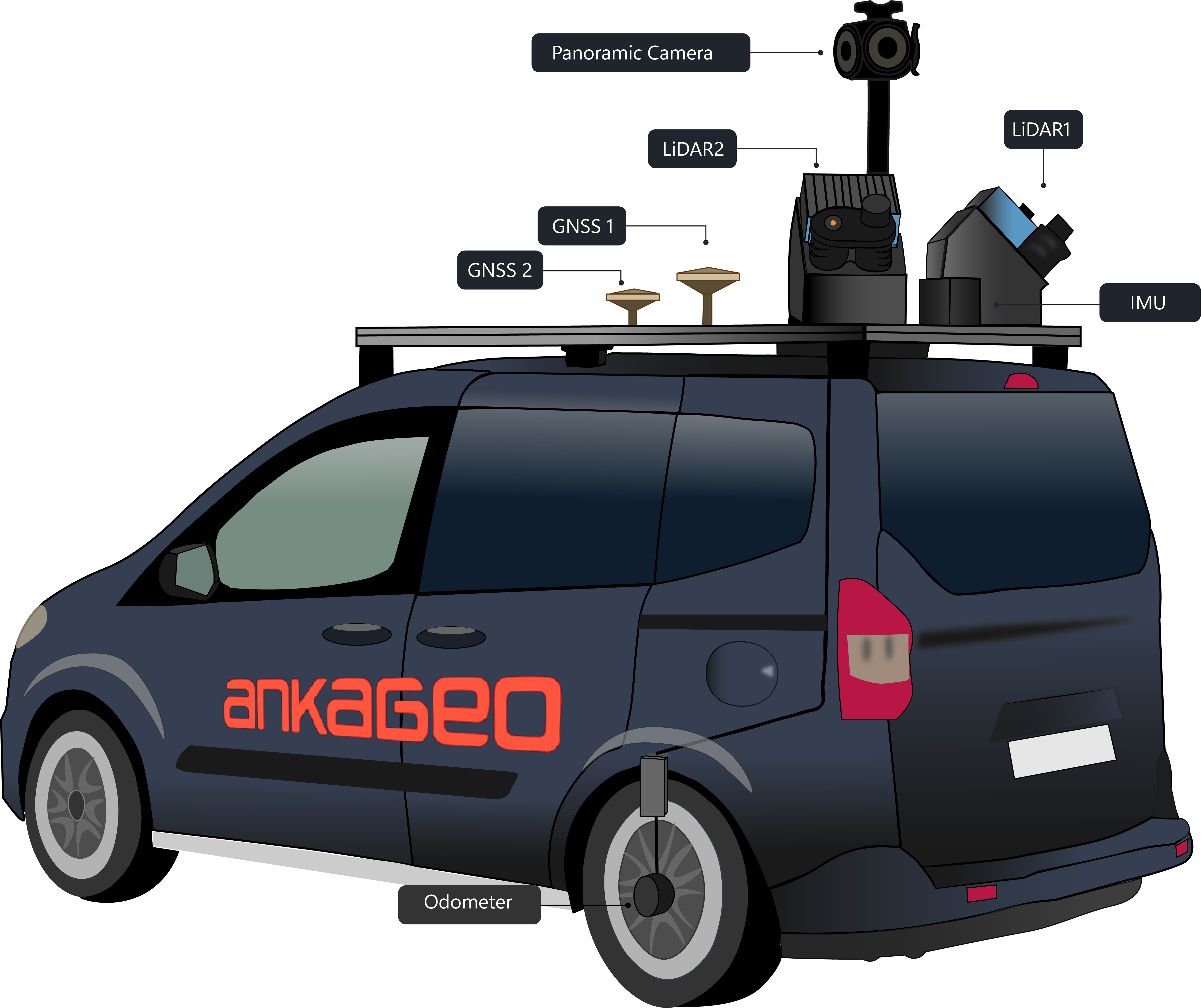
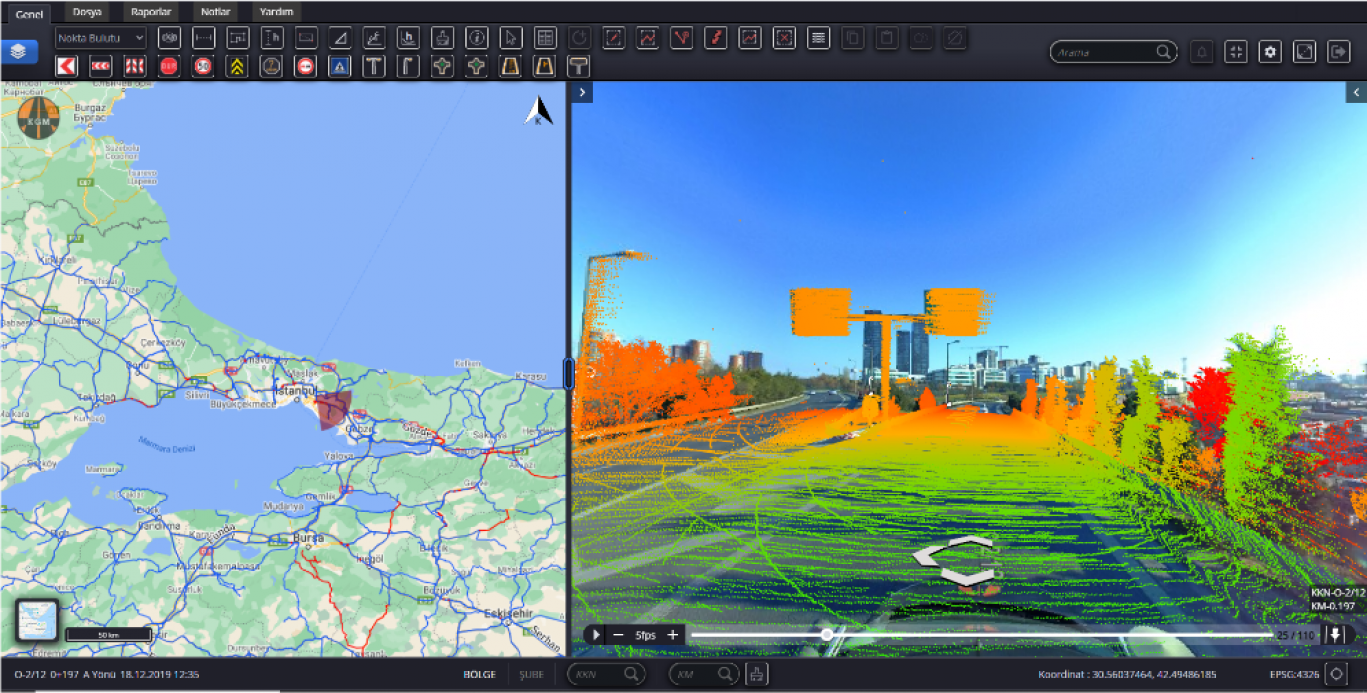
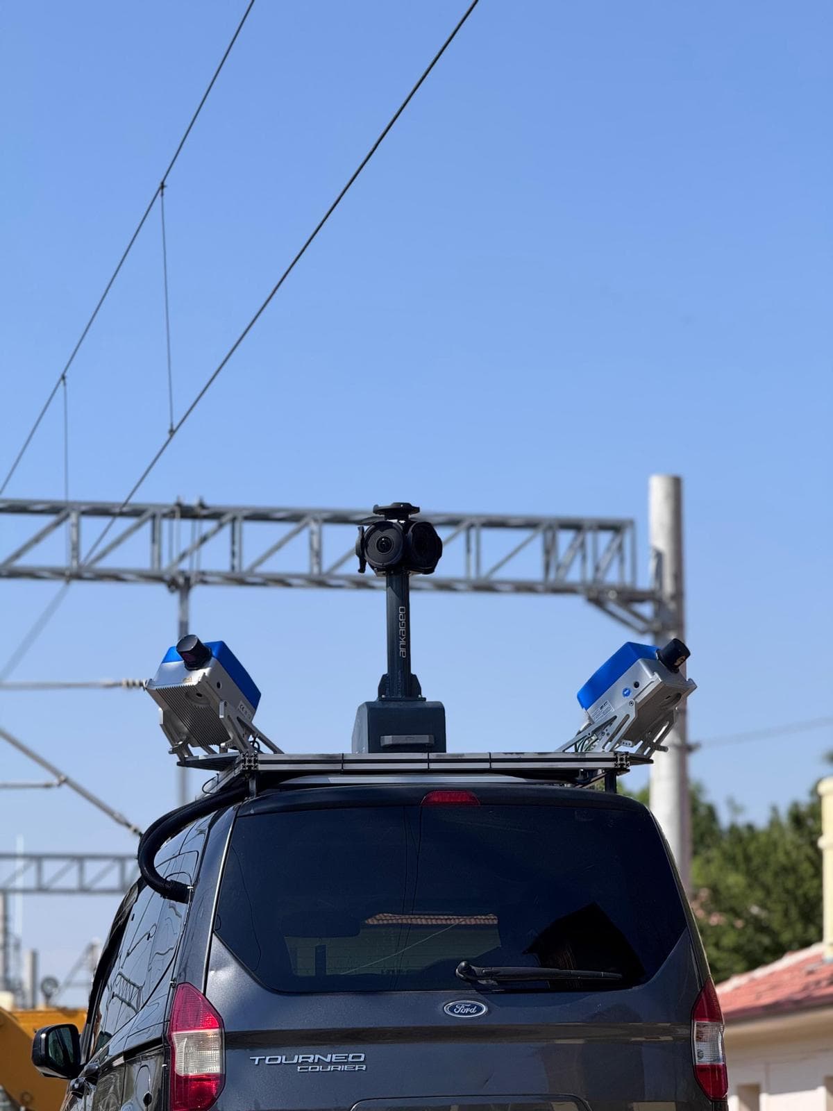
Mobile maps, which provide many services such as 360-degree viewing of cities, measurement on panoramic images, real-time data generation and updates, showing important centers that may be needed, knowing and updating the locations of city objects, it is generated from location data from mobile vehicles such as cars, drones, boats, trains or planes. Sensors such as GNSS, camera, LIDAR, radar, IMU are installed in mobile vehicles to produce and collect data.
With Mobile Mapping software, the data received from sensors integrated into mobile vehicles must be transferred to the developed software and visualized in order to reach the end user. Thanks to these software, mobile maps are created by processing, querying and analyzing data.
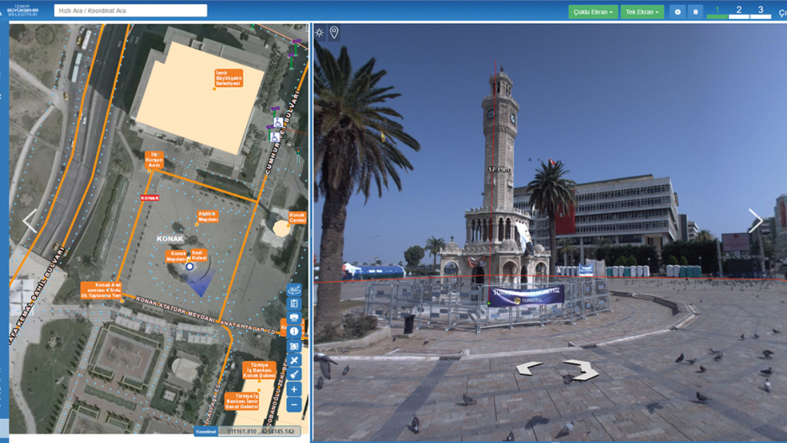
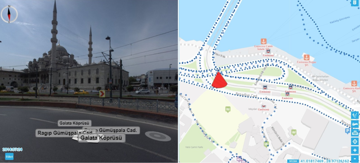
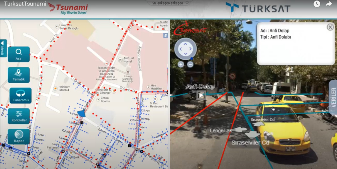
There are many options for the user in mobile maps. The user can easily reach the location he is looking for with the help of the interface designed in the software. In the mobile maps produced by ANKAGEO, besides the map, the user can also show the street views of the location he / she is looking for in 360 degrees. At the same time, route alternatives (bus, metro, metrobus, etc.) are presented to the user on this map.